Loading the North Atlantic 0%
Dramatic basalt cliffs of the Faroe Islands rising from the North Atlantic
62°00′N — 06°47′W
Elevation 754 m
Wind avg. 9.4 m/s
Fog · Wind · Atlantic air
Chapter 01 — Arrival
An educational journey through 18 remote islands

FØROYAR

Where the North Atlantic writes its stories
in wind, grass, stone, and sea.

Scroll
The Faroe Islands are not a place you simply visit. They are a place you enter slowly — through weather, silence, cliffs, sheep paths, and the sound of the Atlantic.

Midway between Norway and Iceland, closer to the Arctic than to London, this archipelago of 18 islands has been shaped by wind, sea, and 1,200 years of human stubbornness against extraordinary geography.

62°00′N · 06°47′W · 1,399 km²
18 Islands in the North Atlantic archipelago — home to about 54,000 people, and an estimated 80,000 sheep.
1,399 km² Total land area — yet containing some of the world's most dramatic coastal cliff landscapes, including Enniberg at 754m.
Old Norse roots Faroese descends from Old Norse — one of only three surviving languages in its family, alongside Icelandic and mainland Scandinavian.
Faroe Islands Archipelago — Selective Atlas 62°N 06°W Scale approx. 1:500,000

A living map of cliffs,
tunnels, fjords,
and weather.

Not a checklist. Not an itinerary. The Faroe Islands are a place you navigate by sound, light, and instinct. Hover over a location to read its field note. Click to open its story. Press Enter or Space on keyboard.

STREYMOY EYSTUROY VÁGAR SUÐUROY KALSOY TÓRSHAVN GÁSADALUR SAKSUN GJÓGV KALSOY MYKINES TRÆLANÍPA TJØRNUVÍK N 0 25 50km

Seven places that tell
the whole story.

Tórshavn harbor at dusk with colorful timber houses
Chapter 01 of 07
61°33′N 06°46′W

Tórshavn

The Small Capital

One of the world's smallest capitals, Tórshavn feels less like a city and more like a harbor conversation between old timber, rain, and sea. The old quarter of Tinganes — a small promontory of red and black timber houses with grass roofs — juts into the harbor like something from a medieval woodcut.

Founded in the 10th century as a Viking gathering place for the Faroese parliament, Tórshavn retains that sense of slow, considered assembly. Its 22,000 inhabitants know each other. Its streets know the tides.

The name Tórshavn means "Thor's harbour" in Norse. The harbor was used as the site of the Løgting — the Faroese parliament — as early as the 9th or 10th century, making it one of the oldest parliaments in the world.

61°33′N · 06°46′W Founded c. 900 CE · Pop. ~22,000
Múlafossur waterfall at Gásadalur cascading into the North Atlantic
Chapter 02 of 07
62°06′N 07°31′W

Gásadalur

Waterfall into the Atlantic

At Gásadalur, Múlafossur falls directly from green cliffs into the North Atlantic — a scene that feels too dramatic to be real, too composed to be natural. The village itself sits in the shadow of the plateau, accessed for most of its history only by mountain path.

A tunnel was built in 2004 connecting Gásadalur to the rest of Vágar island. Before that, the postman walked over the mountain. The waterfall has not changed.

Múlafossur falls approximately 50 metres from a hanging valley directly into the sea. The village of Gásadalur has a population of roughly 16 — one of the smallest in the Faroe Islands.

62°06′N · 07°31′W Fall height ~50m · Population ~16
Saksun valley with green mountains and lagoon
Chapter 03 of 07
62°10′N 07°11′W

Saksun

The Valley Village

Saksun sits inside a natural amphitheater of mountains, grass, black sand, and quiet water. A tidal lagoon fills and empties twice a day. The sound changes with the tide. Everything here feels protected from the rest of the world.

At its center stands a small church from 1858, white against the surrounding green, and a handful of turf-roof farmhouses that look as though they grew from the hillside rather than being built upon it.

The lagoon at Saksun — known as Saksunarvágur — was historically used as a natural harbor, but silted up over centuries. Today it is accessible only to small boats at high tide, and to walkers on the black sand beach at low tide.

62°10′N · 07°11′W Northern Streymoy · Church built 1858
Gjógv sea gorge with ocean entering the village
Chapter 04 of 07
62°18′N 06°57′W

Gjógv

The Sea Gorge

Gjógv is named after its gorge — a natural sea-cut passage where the ocean enters the village like a living force. The gorge, carved through ancient basalt over thousands of years, serves as a natural harbor and an ever-present reminder of the island's geological youth.

The village of Gjógv is one of the most remote in Eysturoy. In the evenings, when the wind drops and the gorge calms, the sound of water filling stone echoes through the narrow street.

"Gjógv" means "gorge" in Faroese. The sea gorge is approximately 200 metres long and 4–6 metres wide, carved into the basalt by centuries of Atlantic wave action. It provides the only natural harbor on this stretch of coast.

62°18′N · 06°57′W NE Eysturoy · Gorge depth ~200m
Kallur lighthouse on Kalsoy island with dramatic cliffs and moody sky
Chapter 05 of 07
62°21′N 06°46′W

Kalsoy

The Thin Island

Kalsoy is narrow, dramatic, and cinematic. It is 18 km long but no more than 2 km wide in places. Roads pass through tunnels drilled through mountain rock — single-lane tunnels lit by bare bulbs — and cliffs until the land seems to end at the Kallur lighthouse.

Standing at Kallur with the sea on three sides, you understand why sailors feared and respected this stretch of the North Atlantic. The view from the lighthouse tip looks like the beginning of the world — or the end of it.

Kalsoy has four villages, all connected by a narrow mountain road and four unlit single-lane tunnels. The island has no mains electricity connection — power is generated locally. Ferry is the only access, weather permitting.

62°21′N · 06°46′W 18km long · 4 villages · Ferry access
Mykines island cliffs and seabirds at the edge of the Faroe Islands
Chapter 06 of 07
62°06′N 07°38′W

Mykines

Birds and the Edge of the Map

Mykines is often associated with seabirds and remote paths. The westernmost of the Faroe Islands, it is home to large colonies of Atlantic puffins, gannets, and storm petrels. Here, the feeling is simple: the map has almost run out of land.

Access depends entirely on weather — the ferry or helicopter may not run for days. Some visitors find themselves stranded for a week. They almost always say it was worth it.

The puffin colony on Mykines is one of the largest in the Faroe Islands. Puffins nest in burrows in the grassy clifftops from April to August. The island's lighthouse, built in 1909, stands on a small islet (Mykineshólmur) connected to the main island by a rope bridge.

62°06′N · 07°38′W Westernmost island · ~10 permanent residents
Trælanípa cliff walk with the view towards Lake Sørvágsvatn and the North Atlantic ocean
Chapter 07 of 07
62°03′N 07°21′W

Trælanípa

The Lake Above the Ocean

At Trælanípa, perspective becomes strange. Lake Sørvágsvatn appears from certain vantage points to float above the ocean surface, separated from the Atlantic by nothing but a cliff edge and light. The lake and the ocean seem to share the same horizon.

The optical illusion is real. The lake sits at roughly 32 metres above sea level, but from the cliff walk, the angle of view collapses the distance. The geography becomes a painting of itself.

Lake Sørvágsvatn (also called Leitisvatn) is the largest lake in the Faroe Islands at 3.4 km². It drains into the sea via a short waterfall over the Trælanípa cliffs. The famous optical illusion is caused by the angle of the cliff path and the compressed perspective of the view northward.

62°03′N · 07°21′W Vágar Island · Lake at 32m elevation

The weather is not background.
It is the story.

In the Faroes, weather changes the shape of everything. A mountain can disappear in minutes. A village can become a silhouette. A road can feel like a passage through cloud. Four moods, four atmospheres.

Fog

A mountain can disappear in minutes. A road becomes a passage through cloud. Fog is not weather — it is architecture.

Wind

Averaging over 200 windy days per year. The wind shapes posture, reshapes coastline, and bends the grass in one direction permanently.

Rain

Over 1,200mm of rainfall annually. Rain arrives sideways, fed by the Atlantic. It feeds the moss, the streams, the waterfalls.

Northern Light

In winter, when the fog lifts, the sky performs. Curtains of aurora remind you that you stand at the threshold of the Arctic.

"If you don't like the weather, wait five minutes.
If you do like it, take a photograph immediately."

— Old Faroese advice

Nature does not decorate
the islands. It shapes them.

Basalt sea cliffs rising vertically from the North Atlantic
Geology · Eocene
Basalt Cliffs

Formed 55 million years ago through volcanic activity, these columnar basalt sea cliffs rise up to 754 metres. Enniberg, on Viðoy, is one of the tallest vertical sea cliffs in the world.

Field note: Eocene formation
Deep fjord cutting through layered green hills
Hydrology · Glacial
Fjords

Glacially carved during the last ice age, the fjords funnel wind, channel tidal currents, and give each island its characteristic silhouette from above.

Field note: Glacial carving
Traditional turf grass roof house in the Faroe Islands
Architecture · Traditional
Grass Roofs

Not decorative — practical. A living moss layer insulates against cold, anchors the timber frame against wind, and slowly becomes part of the hillside it rests on.

Field note: 1,000yr tradition
Faroese sheep grazing on steep green hillsides above the ocean
Ecology · Endemic
Faroese Sheep

Approximately 80,000 sheep — outnumbering people by 1.5:1. "Faroe" derives from the Old Norse for sheep. They have shaped the landscape for over 1,200 years.

Field note: ~80,000 individuals
Atlantic puffins nesting on cliffs above the Faroe Islands ocean
Ornithology · Breeding
Seabirds

310+ bird species recorded. Atlantic puffins, gannets, fulmars, storm petrels, razorbills. All dependent on the rich North Atlantic fishery that surrounds the islands year-round.

Field note: 310+ species
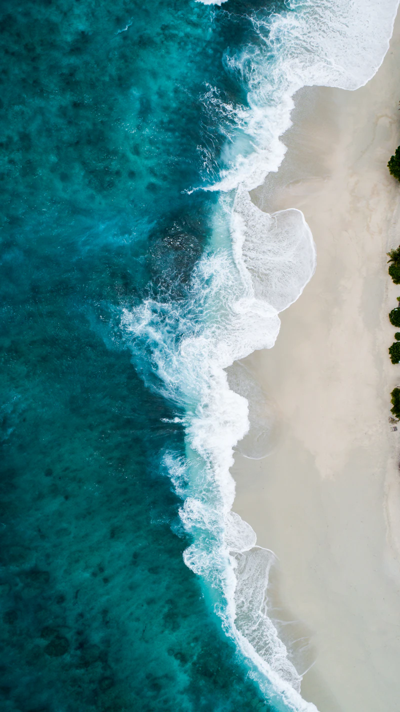
Wild North Atlantic ocean waves crashing against basalt rocks
Oceanography · Current
The North Atlantic

The North Atlantic Current, a branch of the Gulf Stream, moderates island temperature. Winters are milder than the latitude suggests. The ocean averages 7°C year-round.

Field note: Avg. 7°C annually
Clear mountain stream flowing through mossy Faroese landscape
Hydrology · Waterfalls
Streams & Waterfalls

100+ named waterfalls trace every hillside. The high rainfall and steep gradients mean that several waterfalls drop directly into the sea — a geographic form found nowhere else in such concentration.

Field note: 100+ named falls
Vibrant green moss covering ancient basalt rock on a Faroe Islands hillside
Botany · Vascular
Moss & Meadow

No native trees — the tree line was overrun by wind, grazing, and settlement centuries ago. In their place: dense carpets of mosses, sedges, and low grasses covering every hillside in layered green.

Field note: 400+ plant species

Isolation gave them
a rhythm of their own.

Isolation did not freeze the Faroes in time. It gave them a rhythm of their own — rooted in tradition, alert to the modern world. A language, a music, a literature, a visual culture, and a political voice that are entirely their own.

Language

Faroese is a North Germanic language spoken by ~72,000 people worldwide. Descended from Old Norse brought by Viking settlers in the 9th century — the closest surviving language to the speech of the medieval sagas. Suppressed under Danish rule for centuries, revived as a literary language in the 1800s.

Maritime Life

Fishing accounts for ~95% of export earnings. The relationship between the Faroese and the sea is not economic — it is ancestral. Boats are treated with the same care as houses. The knowledge of tides, currents, and weather passes through families across generations.

Turf Architecture

The turf-roof house — black timber walls, living green crown — is the defining image of Faroese architecture. Practical in origin (insulation, wind resistance, structural weight), it has become a symbol of adaptive intelligence: using what the land provides, working with nature rather than against it.

The Chain Dance

The Faroese chain dance (dansur) is one of Europe's oldest living folk traditions. Performed at festivals, large circular groups move to the rhythm of ballads — kvæðar — telling stories of Viking heroes and Norse mythology. The dances can last hours. The songs contain entire libraries.

Self-Governance

The Faroe Islands are self-governing within the Kingdom of Denmark, with their own parliament — the Løgting — established formally in 1852. They manage fisheries, education, and taxation independently. The question of full independence remains ever-present in the national conversation.

"We are small in number. But we are not small in anything else."

— Faroese saying
"Some places are not asking to be conquered.
They are asking to be listened to."
Stay on Marked Paths

Faroese terrain is fragile. The thin soil layer over basalt erodes quickly. Paths exist not to limit freedom, but to protect the ground beneath your feet — and those who walk after you.

Respect Wildlife & Land

Most Faroese land is privately owned. Sheep are working animals. Seabirds nest in cliff burrows that appear as ordinary ground. Move quietly, especially in spring and early summer.

Prepare for Weather

Conditions change within minutes. Fog, high winds, and driving rain are not rare events — they are the ordinary state of things. Dress for all four seasons simultaneously.

Leave No Trace

There are no litter bins at most viewpoints. What you carry in, you carry out. The landscape's power depends entirely on its unmarked quality. Preserve it precisely because it moved you.

Support Local Communities

Villages like Saksun and Gásadalur are people's homes, not attractions. Buy from local producers. Stay in local guesthouses. Understand that your presence is a guest arrangement, not a right.

The best visitors leave nothing behind — except their attention.

What this
site is built on.

An educational reference framework. The information presented throughout this documentary is based on public geographic, scientific, historical, and cultural sources. These field notes outline the key factual foundations of each subject area.

01
Geography

18 islands. Total area: 1,399 km². Highest point: Slættaratindur, 882 m. Location: 62°N, 6-7°W. Nearest neighbours: Iceland (420 km N), Norway (675 km E), Scotland (300 km S).

Ref: Statistics Faroe Islands / Hagstova Føroya
02
Population & Settlement

Population: ~54,000. Capital: Tórshavn (~22,000). Inhabited islands: 17 of 18. Average population density: 38/km². Emigration historically significant — substantial Faroese diaspora in Denmark and UK.

Ref: Statistics Faroe Islands, 2024
03
Language

Faroese (Føroyskt) is a North Germanic language descended from Old Norse, closely related to Icelandic. Co-official with Danish since 1948. Number of speakers worldwide: ~72,000. Writing system: Latin alphabet with 29 letters.

Ref: Annales Universitatis Turkuensis / Nordic Council
04
Weather & Climate

Subarctic maritime climate (Köppen classification Cfc). Average temperature: 3°C (Jan) to 11°C (Jul). Annual rainfall: ~1,200mm in Tórshavn. Wind speed average: 9.4 m/s. Fog days: up to 200/year in coastal areas.

Ref: Faroese Meteorological Office (VMF)
05
Culture & Governance

Self-governing territory of Denmark since 1948 (Home Rule), expanded 2005 (Further Home Rule). Own parliament (Løgting) since 9th century. Own currency (Faroese króna). Culture: chain dance (dansur), kvæði (ballads), knitting patterns, independent church since 1990.

Ref: Government of the Faroe Islands / Løgmaðurin
06
Responsible Travel

The Faroe Islands operates a formal "Closed for Maintenance" scheme — closing popular sites for voluntary conservation days. Visitor guidance is managed by Visit Faroe Islands in cooperation with local communities and landowners.

Ref: Visit Faroe Islands / Governmental Tourism Guidance

This website is an independent educational concept. It is not affiliated with the Government of the Faroe Islands,
Visit Faroe Islands, or any official tourism authority. All facts are cited from public sources.

10 — Departure
62°00′N · 06°47′W

You leave the islands,
but the weather
stays with you.

An educational digital journey through the Faroe Islands — built to explore how geography, culture, weather, and nature shape a place and the people within it.

FØROYAR · 62°00′N 06°47′W · North Atlantic Ocean
18 islands · 1,399 km² · Population ~54,000